Documentation
This documentation is a work in progress. Check out videos on the ultraPacer YouTube Channel. Feature requests or issue/bug reports? Suggest, vote, and comment in the Feedback Hub.
Anything else? Contact me directly.
ultraPacer has functions to download PDF versions of pace plans.
Download PDF tables
When viewing the Course or Plan you would like to download, click the Actions button in the Plan section at the top of the page to select “Download PDF”.
Full plan table
Landscape full-page format including all notes. Includes only primary waypoints.
Compact race card
Compact table to cut out and stick on the back of your bib. Includes primary and secondary waypoints.
Custom PDF reports
You can create customized PDF formats in ultraPacer! In the “Download PDF” menu you will see an option to “Create report format”. Select this to walk through the following pages:
Content
- Split Type how to split the course data in the report:
- Waypoint Splits — split on each waypoint (default). Also allows printing of waypoint-specific information such as tags, cutoffs, and notes.
- Mile Splits — split on each mile.
- Kilometer Splits — split every kilometer.
- Climb Splits — show splits only for climbing sections of the course.
- Descent Splits — show splits only for descending sections of the course.
- Fields drag desired fields from the Available to the Selected column and vice-versa to remove fields, and drag within the Selected column to reorder. When a non-waypoint split type is selected, waypoint-specific fields (Tags, Cutoff, Delay) are not available.
Formatting
- Orientation landscape or portrait page setup
- Page Size letter (8.5×11 in) or A4 (210×297 mm)
- Misc Options
- Compact uses smaller formatting for a small “cue card” to attach to a bib or stash in a pocket
- Summary Row includes a footer row with totals
- Include Notes includes waypoint/aid station notes where they have been provided. Only available for waypoint splits.
- Single Page zooms the content to fit on a single page
Summary
- Review all selections and enter a Report Name for later reference/selection in the format menu.
Note: Final PDF layout (including page orientation and size) is determined by server-side PDF rendering. The selected report orientation (landscape or portrait) is passed to the server and applied when the PDF is generated. Manual/browser printing of print preview pages is not a supported path.
What's new?
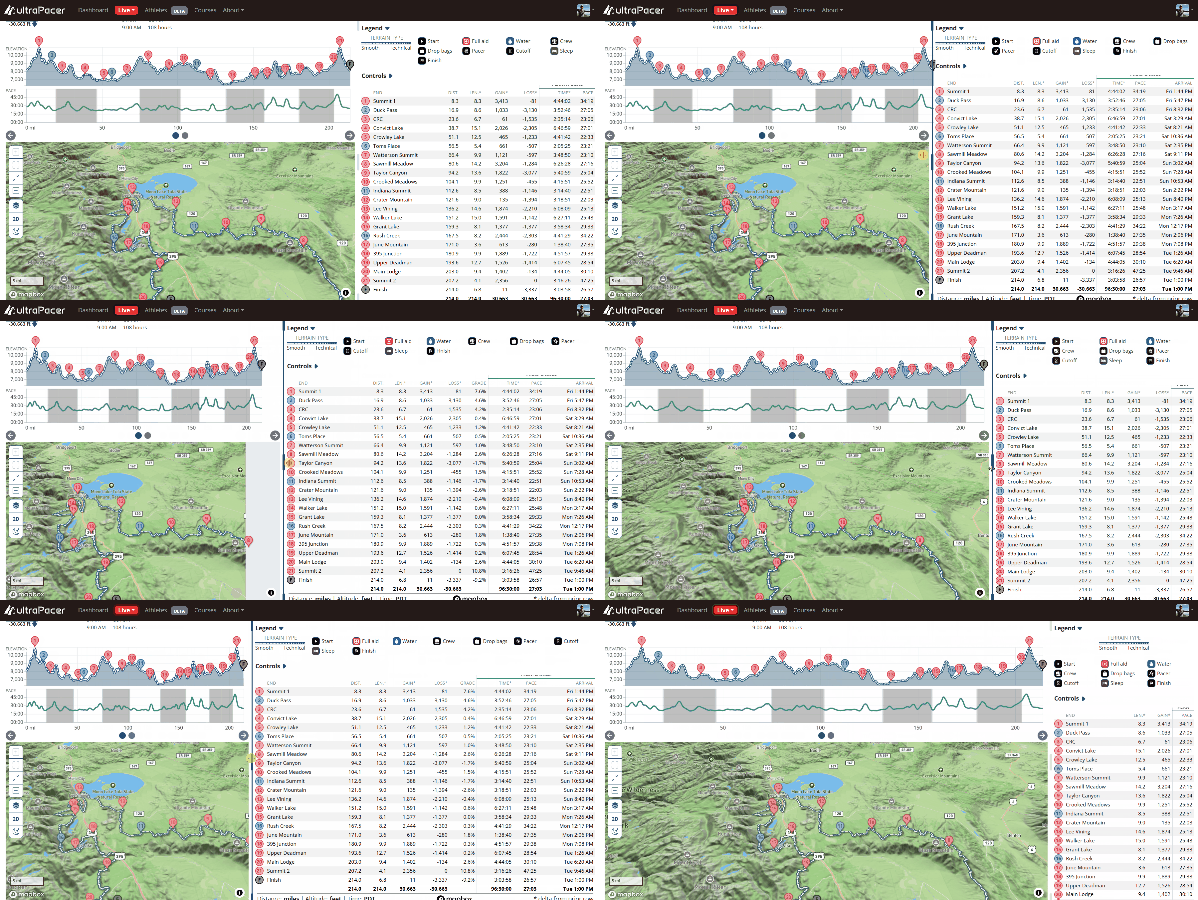
Resize the course page!
On wider screens there is now a divider between the chart and map and the tables beside them. Drag it to give the map more room or spread out the splits, nudge it with the arrow keys, or double-click to snap back to the default layout.